


Basic Geo-information Application Project
The course is meant to use the acquired knowledge of module 1, by carrying out a project in an academic fashion. The course serves as an introduction to the later Module 6, where similar upscale and enhanced projects have to be performed.
M2 assignment example
Themes
- Basic GI analysis in the form of a project
- Peer review processing
- Introduction to spatial data, ethics and spatial data quality issues
- Introduction to search electronically for scientific literature
- Introduction to oral presentation skills
- Application of analytical modelling & spatial analysis
- Application of cartography & visualization of project results
Course objectives
The student will be able to:
- Demonstrate practical experience in basic methods and techniques for geodata handling
- Show awareness of the influence of data quality aspects on the outcomes of the GI application project
- Show practical experiences with integrated software handling
- Demonstrate the practical integration and application of knowledge of module 1 (basic methods and techniques) into a GI application project
- Integrate existing scientific knowledge into a case-study oriented GI-project
- Demonstrate a critical methodological and ethical attitude concerning geodata handling in practical situations
At the end of module 2 participants are able to properly prepare, plan and execute a scientific-oriented GI application project and present orally and in writing the results of their projects with a critical awareness of relevant data quality and ethical aspects and of appropriate methodological and visualization issues.
Content
During the first days the participants will be introduced to different types of projects and the data sets needed in them. Issues like data quality, project planning and data handling will be dealt with, as well as methodological reflection. Thereafter the students will work group wise on a project. Therein the participants are not only asked to work on their own project but they will also be involved in monitoring and evaluating the progress and results of a counter group.
Students can select one from five cases:
- Case 1: Sustainable Urbanization Randstad & Smart City projects
- Case 2: Spatial analytics in urban mobility and econometrics
- Case 3: Building Clusters: (open case) about space for drones
- Case 4: Data quality and Vineyard suitability
- Case 5: School planning system & New Dutch Waterline
Type of education
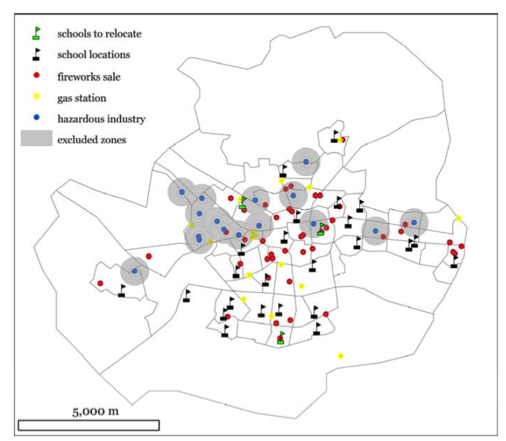
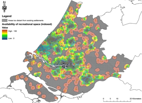
M2 – assignment Optimal school location in Enschede
This distance learning module will include:
- Lectures
- Excursion
- Supervisors discussions
- Distance learning
- Writing project plan
- Literature research
- Preparing & analyzing data
- Visualization of results
- Writing group report
- Presentation
- Evaluation
In the last week of the module the students will present their case.
Assessment
- Final project proposal
- mid-term analysis results
- Final project results (presentation and report)
- Peer reviews by counter group
Literature
Literature is dependent on the selected case to serve as academic theory.
Entry requirements
Letter of acceptance of the master programme Geographical Information Management and Applications and passed module 1.
1. Students who have a pass grade (5.5 or higher) on the basis of the assignments of Module 1 (without supplementary test) are allowed to start with Module 2.
2. Students who do not meet rule 1, but have a pass grade (5.5 or higher) on the basis of Module 1 as a whole (without supplementary test) are allowed to start with Module 2.