


Methods and Techniques for Geo-information Management and Application
The course is meant as introduction of in-depth contents of geo-information and serves as the basic methods and techniques for all other modules. Module 5 will later go on to enhance the knowledge with respect to database technology and data analysis.
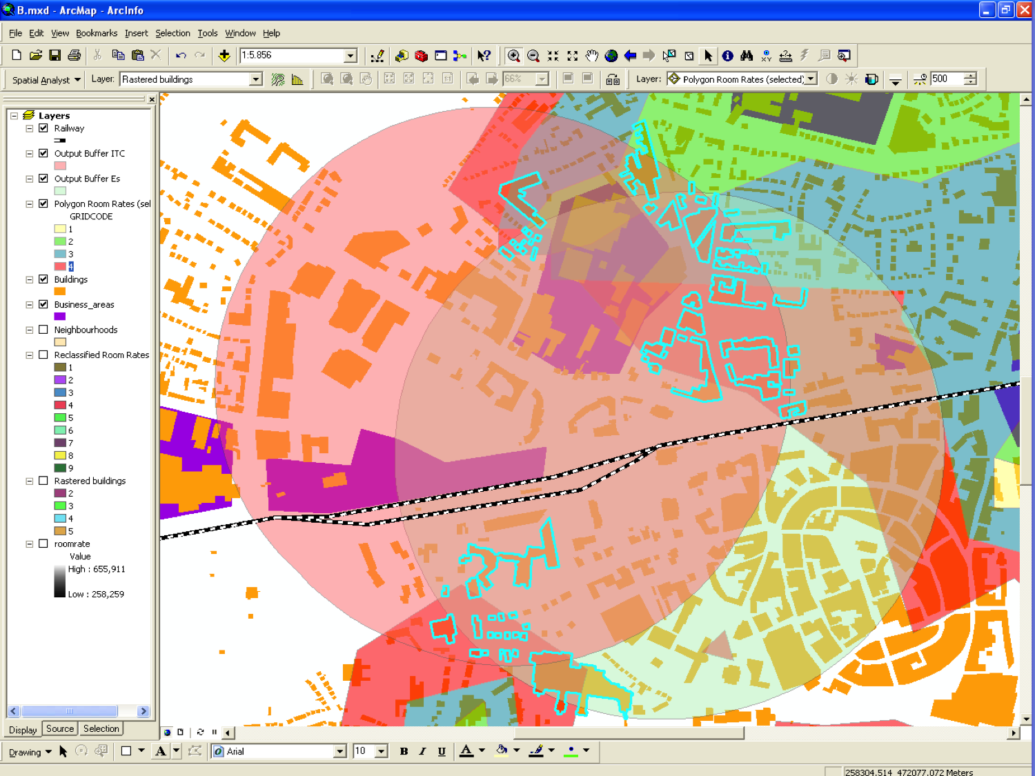
M1 assignment example
Themes
- Academic research & writing
- Introduction to remote sensing
- Introduction to data modelling and databases
- Introduction to analytical modelling & spatial analysis
- Introduction to spatial referencing and visualization
- Optional (choice) element
Course objectives
After successful completion, the student will be able to:
- Describe and understand the basics of the geo-information process, including the role of data modelling
- Understand the principles of data acquisition (including an introduction in Remote Sensing), data storage, data analysis, and visualization technologies
- Understand the basics of quality issues of geo-information
- Apply basic methods in handling geo-information using the ArcGIS software
- Apply basic skills in searching and validating scientific literature
- Analyse basic problems, decide on solutions and summarize findings in a in technical report
- Create a research proposal
Content
This module focuses on the technological aspects of geo-information management. The geo-information process can be split up into four main aspects:
- Data acquisition including remote sensing
- Data storage
- Data manipulation and analysis
- Visualization
The aim of the module is to provide a major introduction to these aspects. After completion of this module, students have basic knowledge about data acquisition methods and tools. Besides the technological content, time is allocated to build scientific research skills. Main focus during this module is on translation of a problem definition into a research proposal.
Type of education
- Lectures
- Practical exercises
- Distance learning
- Digital classroom sessions
- Data analysis and visualization
- Reading assignments
- Technical documentation
- Proposal writing
- Individual written assignments
Assessment
- Personal Development plan (pass – fail)
- Presentation virtual classroom session (pass – fail)
- Five graded Individual written assignments (50% total – 10% each)
- One optional individual assignment (pass – fail)
- Written closed book examination (50%)
Literature
Parts of the textbooks, announced in the description of this course module:
- Heywood, D.I., S.C. Cornelius and S.J. Carver (2011), An Introduction to Geographical Information Systems, 4th edition. Harlow: Pearson Education
- De Smith, M.J., M.F. Goodchild and P.A. Longley (2009), Geospatial Analysis, A comprehensive Guide to Principles, Techniques and Software Tools, 3rd edition. Leiceister: Matador
Entry requirements
- Letter of acceptance of the MSc Geographical Science programme Geographical Information Management and Applications
- Understanding of Geo-Information Science terminology as presented for example in Principles of Geographic Information Systems (ITC)
- Preferably also basic level of GIS skills
- Basic academic skills